Hyper Spectral Imaging
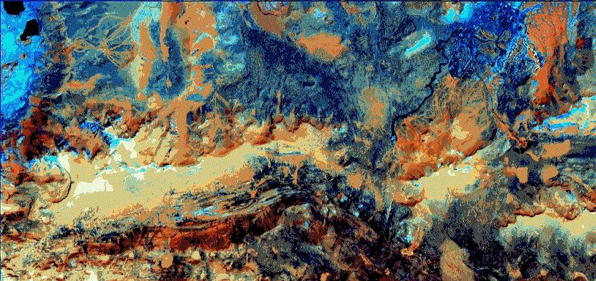
UAV Hyper Spectral Imaging is the process of scanning exposed earth to determine mineral content and composition. With a relatively quick pass, the imaging payload can record the spectral return from the ground below – or the walls alongside – the craft.
Mine sites operating in the extraction of minerals from the Earth will almost certainly employ hyper spectral imaging.
Once analysis is complete, a range of raw material identification is provided which allows workflow planning to be enhanced, in order to extract the highest yield of product possible.
Though not ground penetrating, hyper spectral imaging will identify seams of raw product.
In mining operations where human safety is paramount, the operation of a UAV means less noise, lower area shutdown rates when compared to a full size craft flying overhead at low altitudes, along with enhanced pit or side wall analysis when a vertical take-off and landing craft is used.
Travelling Australia wide, Skyline UAV can come to you and achieve your goals quickly and easily.
