UAV Lidar Scanning – Wheat Fields
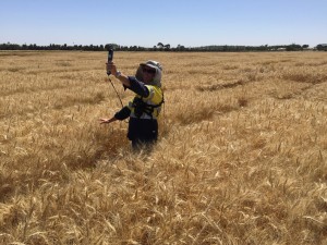
Skyline UAV with our friends at Rhino imaging recently conducted UAV/LIDAR trials of wheat fields for the CSIRO.
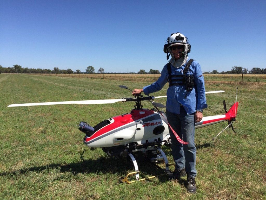
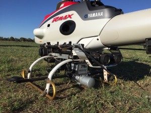
Flying the RMAX Unmanned helicopter equipped with the phoenix AL3 LIDAR the trials were conducted over three days in Yanco NSW.
Being a success and providing data of a quality not previously seen Skyline UAV look forward to more unmanned LIDAR trials and appointments programmed for 2016.


